functionality and setting new standards for digital mapping technologies. Here’s a deep dive into these cutting-edge features that are reshaping how we interact with our surroundings.
- Immersive View: Bringing Locations to Life
The Immersive View feature is a game-changer for virtual exploration. Using sophisticated 3D rendering technology, Google Maps now offers a realistic, detailed view of streets and landscapes that closely mirrors their real-life appearances. Whether you’re planning a trip or just exploring from your living room, this feature allows you to virtually experience locations around the world as if you were walking the streets yourself. It’s particularly useful for tourists and event planners who want a genuine feel of the locale before visiting.
- Lens in Maps: AI-Powered Visual Identification
The introduction of the Lens in Maps features marks a significant advancement in how we use mobile cameras for navigation. By integrating Google Lens technology directly into Maps, users can now point their cameras at buildings, landmarks, and other objects to receive instant information about them. This real-time identification process not only enriches the user’s understanding of their immediate environment but also enhances accessibility for visually impaired users who can receive audio descriptions of visual scenes.
- AI-Powered Search with Photos: Enhancing Discovery
Google Maps’ AI-powered Search with Photos feature revolutionizes how we use images to search for information. Users can now upload a photo, and through advanced image recognition technology, Google Maps will provide details about the location, historical data, and other relevant information. This feature is incredibly useful for discovering new places and learning more about seemingly mundane locations, adding layers of context to every image.
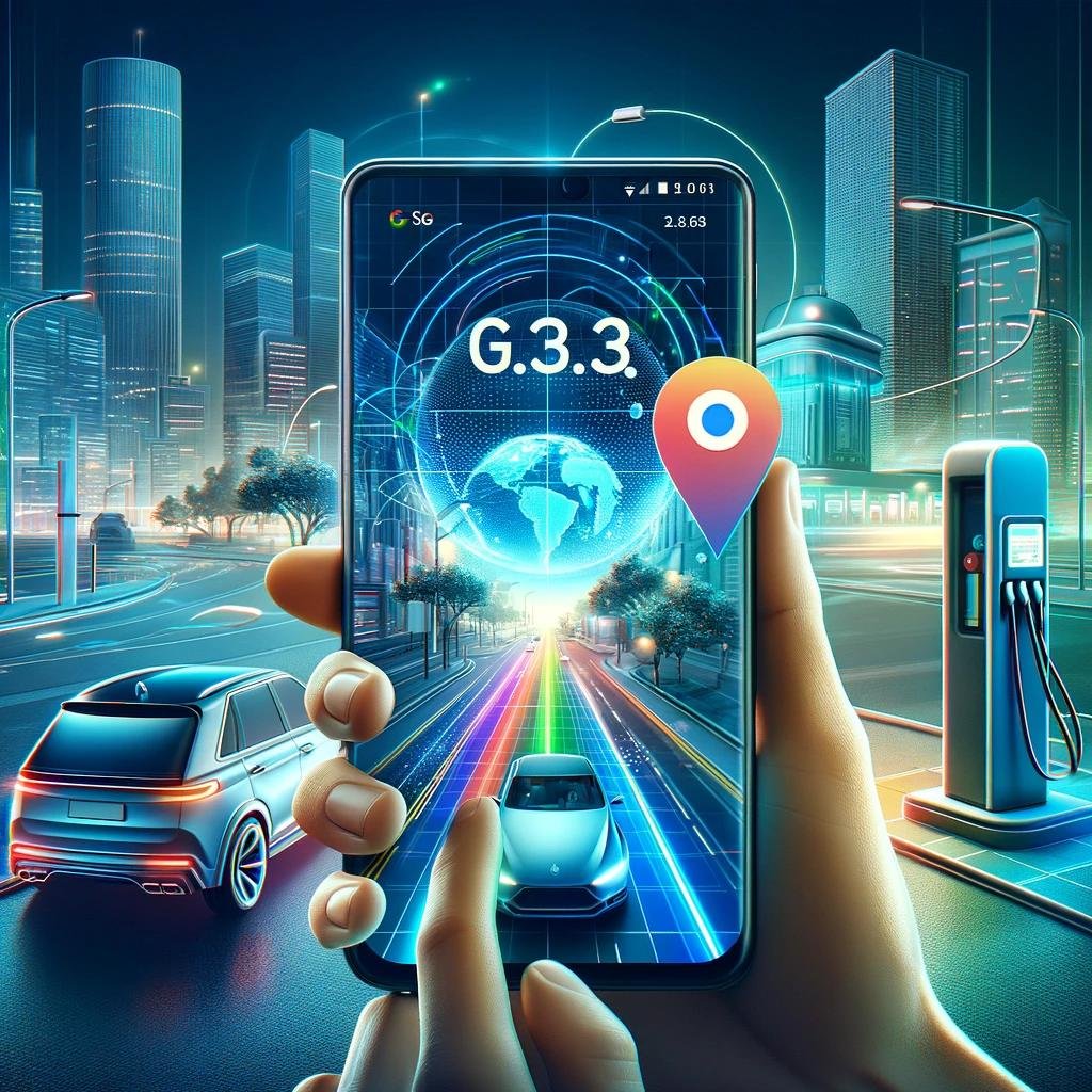
- Advanced Navigation: Real-Time Road Insights
The Advanced Navigation feature delivers precise, minute-by-minute updates on road conditions. This improvement goes beyond traditional GPS navigation; it offers detailed insights into traffic densities, road works, and incidents, ensuring the smoothest possible route. Also, it enhances safety by alerting drivers to potential hazards before they encounter them on the road.
- EV Charging Station Info: Supporting Sustainable Travel
In response to the growing number of electric vehicles on the road, Google Maps now provides comprehensive data on EV charging stations. This feature includes information about the locations, types of chargers available, charging speeds, and the current status of each station. For EV owners, this is an invaluable tool for planning routes and managing charging stops efficiently, promoting longer and more sustainable trips.
- Advanced Linking with Satellite Updates: Real-Time Earth Monitoring
Lastly, the Advanced Linking with Satellite Updates feature offers real-time streaming of satellite imagery, providing users with up-to-date visuals of their locations. This feature enhances a variety of applications from environmental monitoring to security and is particularly useful for professionals in logistics, environmental science, and crisis management.
Conclusion
Google Maps’ latest features showcase the power of AI in transforming our digital interactions with the physical world. These advancements not only improve user experience but also push the boundaries of what’s possible in mapping technology. Whether you’re an everyday commuter, a tech enthusiast, or a professional relying on geographic data, Google Maps’ new features are poised to significantly enhance how you interact with and navigate the world.